Search
Close this search box.

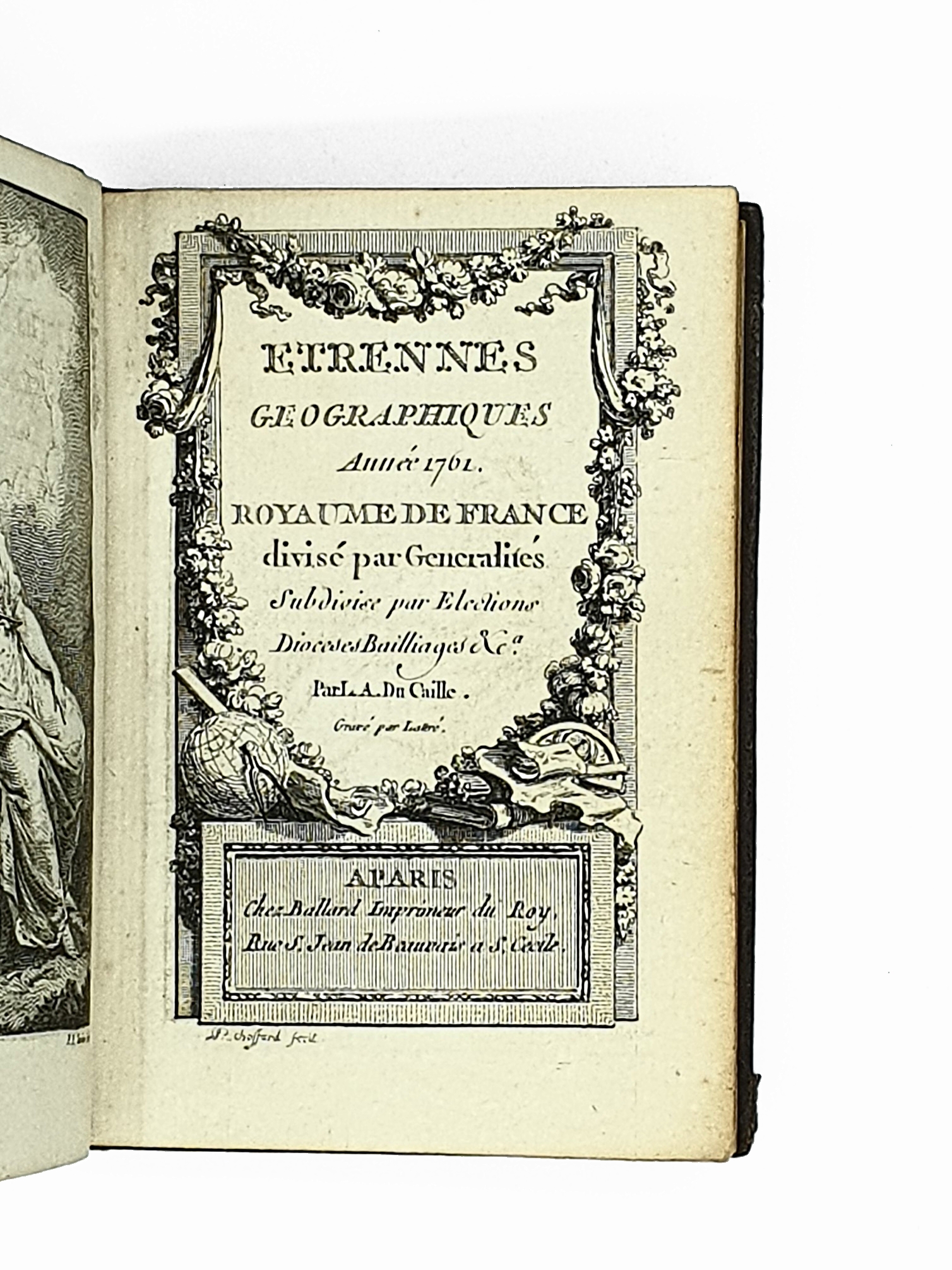
DU CAILLE Louis Alexandre Etrennes géographiques. Année 1761. Royaume de France divisé par Généralités, Subdivisé par Elections, Dioceses, Baillages, etc.

VENDU

Paris, Ballard, 1761

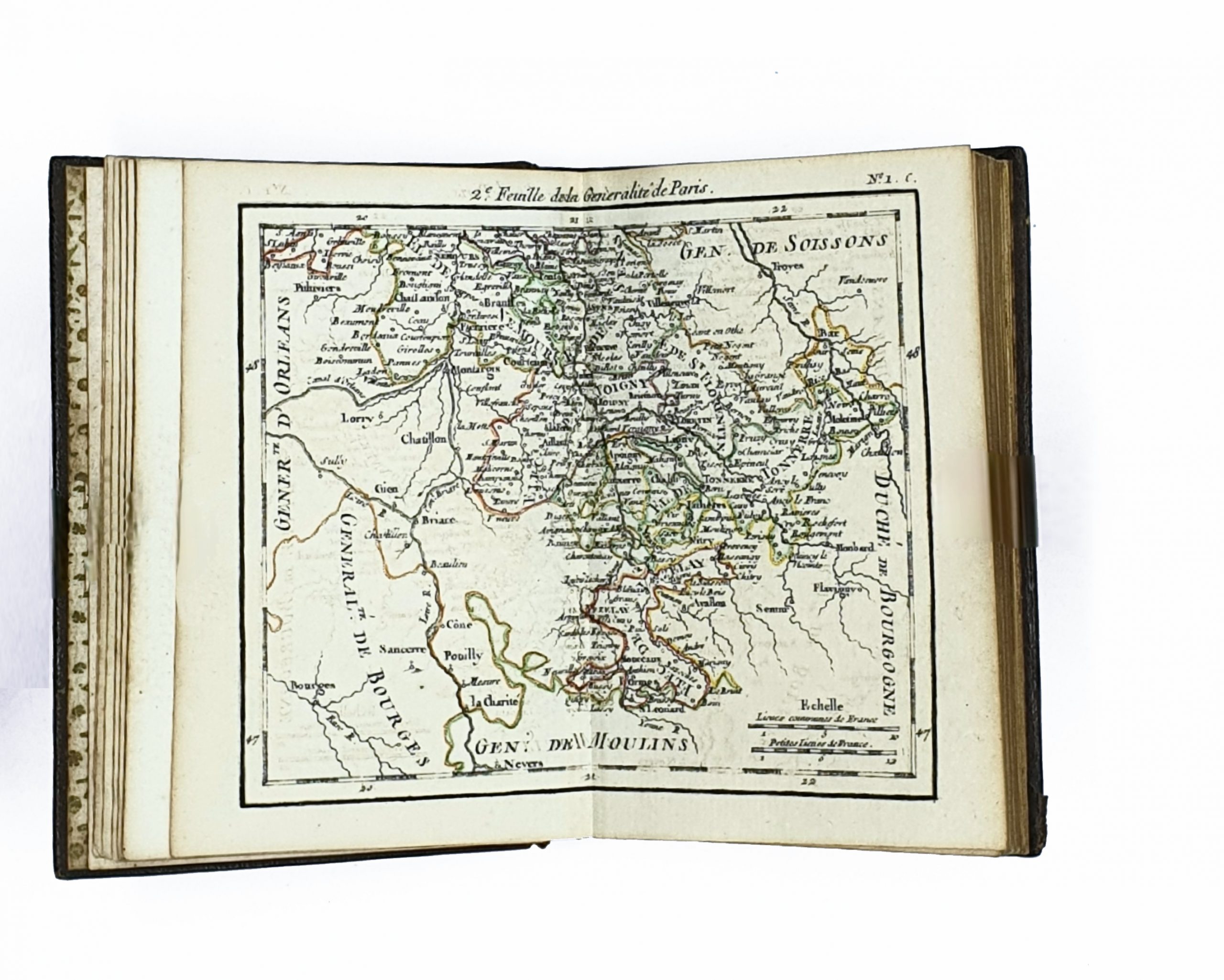
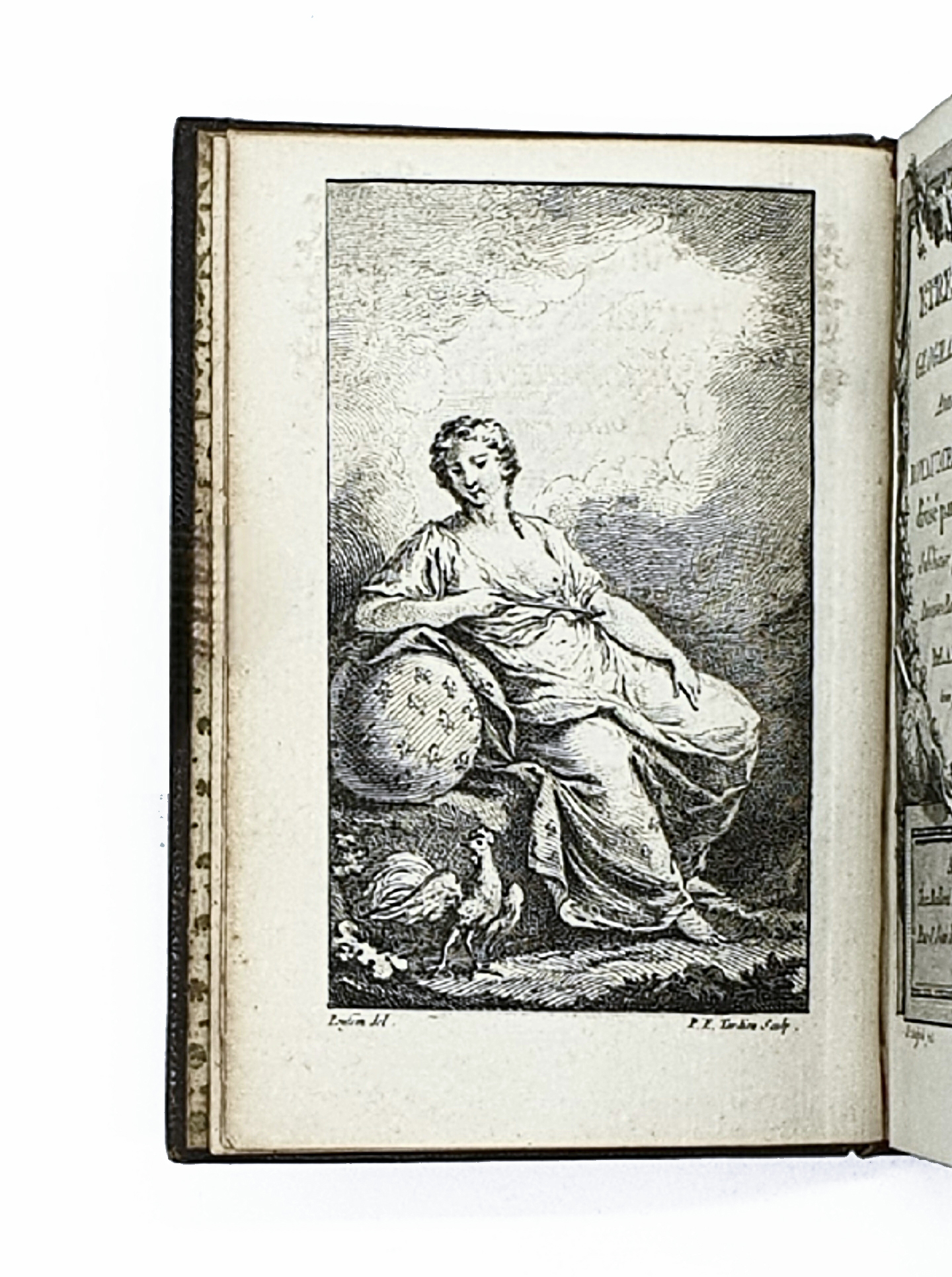
16mo (116 x 80 mm) engraved title, engraved frontispiece, 2 nn.ll. with index, 31 engraved double page maps coloured in outline, 2 nn.ll. Contemporary olive green morocco, triple gilt filet on covers, spine gilt with raised bands, contemporary decorative 'Augsburg' endpapers, gilt edges (spine slightly sunned).

Catégories:
1200,00 

1 in stock

Bound in contemporary olive green morocco

First edition of this pocket atlas of France and its regions.

The charming frontispiece was engraved by Tardieu after the drawing by Poussin.

The maps include a general map of France and 30 regional maps.

An attractive copy, complete with all its 31 maps .

Category Tags ,

Vous pourriez également être intéressés par ...

This site is registered on wpml.org as a development site. Switch to a production site key to remove this banner.